Before GPS and Rest Stops: What a Cross-Country Drive Actually Looked Like in the 1950s
Before GPS and Rest Stops: What a Cross-Country Drive Actually Looked Like in the 1950s
Pull up Google Maps, type in Los Angeles, and hit directions from New York. It'll tell you the trip is 2,790 miles and can be done in about 40 hours of driving — maybe four or five days if you're taking your time and actually want to enjoy it. You'll have turn-by-turn voice guidance, real-time traffic alerts, rest areas with clean bathrooms every 50 miles, and a fast food option approximately every 20 minutes.
Now imagine doing that same trip in 1952. No interstate highways. No GPS. No guarantee the road ahead is even paved.
That's not an exaggeration. That was the reality.
The Road Before the Interstate
The Federal Aid Highway Act of 1956 — the legislation that authorized the Interstate Highway System — is one of the most consequential pieces of infrastructure policy in American history. But its impact is easy to underappreciate because the world it replaced has been almost completely erased.
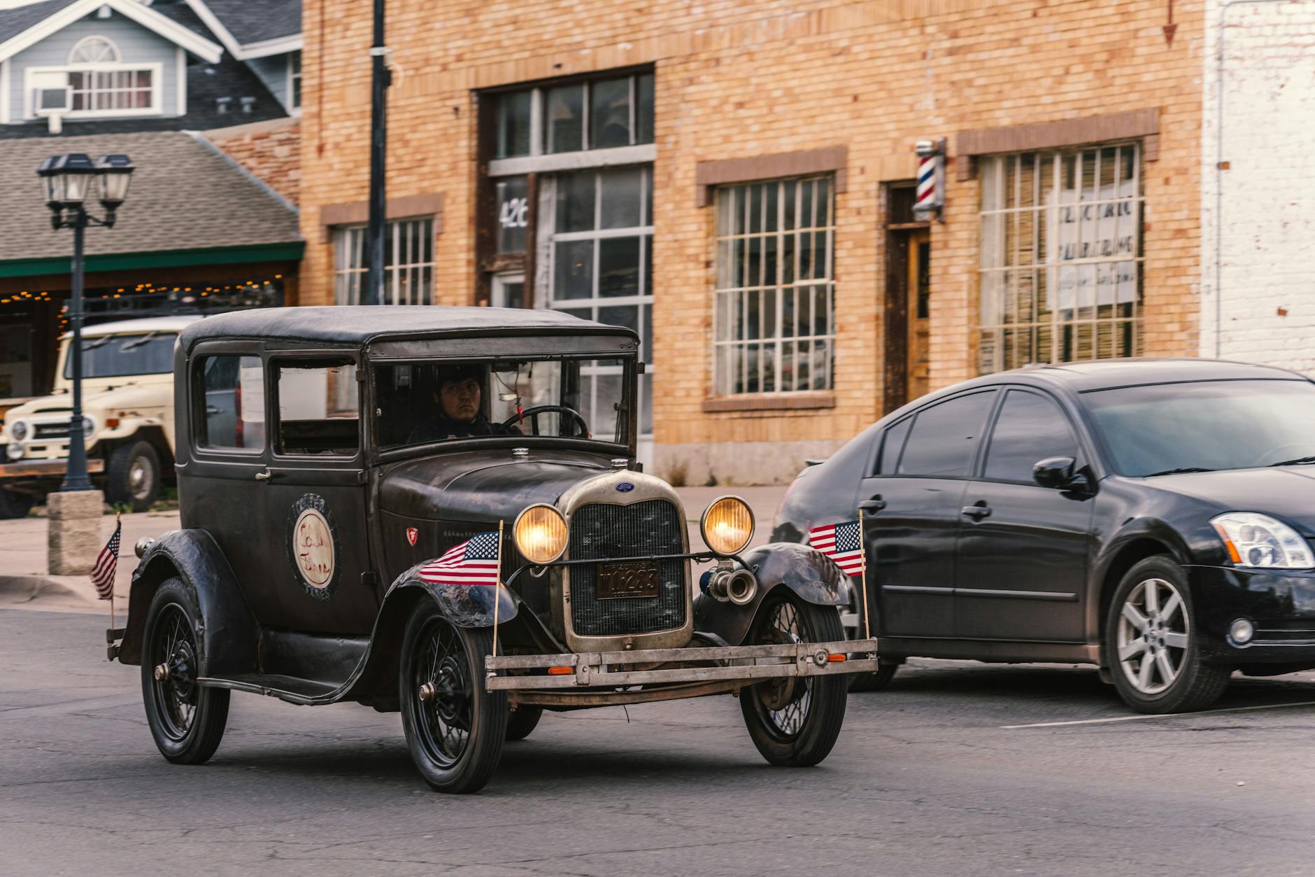
Before the interstates, cross-country travel meant stitching together a patchwork of state and local roads, many of which were two-lane, poorly maintained, and occasionally unpaved. The famous Route 66 — romanticized in song, literature, and a TV show that ran from 1960 to 1964 — was actually a fairly rough ride through long stretches of the American Southwest. Sections through New Mexico and Arizona could turn to dirt and gravel, particularly after rain. Travelers carried spare tires not as a precaution but as a near-certainty.
Maps were paper, usually purchased at gas stations, and they weren't always accurate. Getting lost wasn't a minor inconvenience — it could mean running low on fuel in a stretch of desert with no cell service, because there was no cell service, because there were no cell phones, because it was 1952.
How Long Did It Actually Take?
A coast-to-coast drive in the early 1950s typically took between seven and fourteen days, depending on your route, your vehicle, road conditions, and whether anything broke down — which it often did. Cars of that era were not engineered for sustained highway cruising because there were no sustained highways to cruise on. Engines overheated. Tires blew. Radiators needed constant attention.
The experience was closer to an expedition than a road trip. Families packed tools, extra water, and sometimes basic mechanical supplies. AAA memberships weren't just convenient — they were close to essential.
Accommodations along the way were a roll of the dice. Motor courts and roadside motels existed, but they were clustered around towns and popular routes. Venture off the beaten path and you might be sleeping in your car or knocking on a farmhouse door. The iconic American roadside motel culture that we now associate with mid-century nostalgia was, in large part, a response to how unpredictable long-distance travel was.
The Interstate Changes Everything
Construction on the Interstate Highway System began in earnest in the late 1950s and continued through the 1970s, ultimately producing more than 48,000 miles of controlled-access, high-speed roadway connecting virtually every major American city. The project was the largest public works undertaking in U.S. history and reshaped the country in ways that went far beyond getting from point A to point B faster.
Travel times collapsed. What had taken a week or more now took two or three days. Trucking became faster and cheaper, which lowered the cost of goods across the country. Suburbs exploded outward, because people could now live farther from city centers and still commute to work. Entire industries — fast food chains, national hotel brands, large-scale retail — were built on the assumption that Americans would be driving on reliable, high-speed roads.
Route 66 itself was gradually decommissioned between 1977 and 1985 as the interstate network made it redundant. The road that once represented the freedom and romance of American wandering was essentially retired.
What We Gained — and What We Left Behind
Here's where it gets interesting, though. Ask anyone who drove Route 66 in its heyday and they'll tell you something that modern GPS navigation can't replicate: the trip was the point.
There was a forced intimacy with the landscape. You passed through small towns because the road went through them, not around them. You stopped at diners because you had to stop — not just to eat, but to ask someone if the road ahead was passable. You talked to strangers. You saw the country at ground level, in real time, without an algorithm deciding your route.
Today's cross-country drive is faster, safer, more comfortable, and almost entirely predictable. You can make it from New York to Los Angeles without a single surprise if you want to. The infrastructure that once felt like a distant federal promise is now so deeply embedded in daily American life that it's essentially invisible.
Which is, in its own way, the greatest testament to how completely it worked. We built the roads so well that we forgot what the country looked like without them.